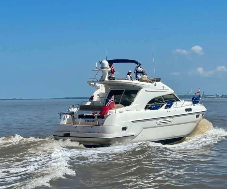
Portishead Marina is located at 51.49 degrees N and 2.76 degrees W with the lock entrance approximately 1NM south west of the mouth of the River Avon and Royal Portbury Dock.
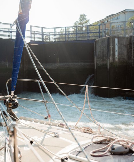
As you approach the Marina entrance from the Northeast you will see the pier on your starboard side. If your approach is in darkness, you will be able to see the isophase green light at the end of the pier. At the entrance to the lock, two vertical fixed port and starboard lights are displayed. Passage through the lock is controlled by a traffic control system on the port side. The traffic lights display three vertical reds to mean "vessels shall not proceed", or green, white, green to mean "vessels may proceed on instruction from the marina control".
As you approach the Marina you should contact us on Channel 80 and you will be advised of the next available lock. Locking times and tide tables are available on our website.
All vessels navigating this part of the Bristol Channel must be aware of the particularly large tidal range (up to 14m) with its associated tidal streams and the shipping to and from Avonmouth and Royal Portbury docks. You should consult Admiralty Charts 1176 and 1859 or their equivalents and pilot books where available.
As you navigate this area of the Bristol Channel, you should keep a listening watch on VHF Channel 12 to monitor commercial shipping movements and Bristol VTS. Small craft are only required to contact VTS on Channel 12 when outbound from the River Avon at Nelson Point.